
Grants Pass ZIP Code Coverage
Grants Pass belongs to a three-code postal research universe: 97526, 97527, and 97528. The first is the primary postal designation. Josephine County property examples show 97526 on parcels within the city and on nearby rural or adjacent county parcels. The second is an additional Grants Pass designation. Property records also show that a parcel's physical address and its owner mailing address can carry different postal codes. The third is important for post-office-box research, but its current delivery classification was not displayed in the reviewed USPS result. Treat each result as postal information, not a promise about municipal jurisdiction or who is present at an address.
| Postal code | Areas covered | Post office route | Research note |
|---|---|---|---|
| 97526 | Primary Grants Pass designation, including city and nearby county parcel examples | USPS address or city-and-state lookup | May appear on parcels outside the city tax area. |
| 97527 | Additional Grants Pass designation | USPS address or city-and-state lookup | Physical and tax-mailing codes can differ on one parcel. |
| 97528 | Grants Pass post-office-box postal research | USPS lookup or local post office | Confirm current delivery status before making a route claim. |
USPS Labeling List L012 groups 97526 through 97528 under Grants Pass. That grouping is useful for a postal search, yet it does not draw neighborhood lines or city boundaries. The County Clerk's PO Box 69 uses 97528, which gives the code a real local role without proving street delivery. Start with the exact address when delivery matters. Then keep the physical address, tax correspondence address, and parcel jurisdiction in separate notes. That small discipline prevents a ZIP code directory search from turning into a false city-limit conclusion.
Note: The postal name “Grants Pass” can describe city and county addresses, so retain the source and date used for each verification.
Verify Grants Pass ZIP Codes
USPS ZIP Lookup is the first check for a delivery question. Its available modes are ZIP Code by Address, ZIP Code by City and State, and Cities by ZIP Code. Use the address mode after confirming the directional prefix, street type, and any unit identifier. The USPS result is a delivery reference. USPS expressly warns that a result does not confirm a person or company is at that address. For a broad city search, city-and-state results help identify the postal universe, but they do not replace an address-level check.
| USPS mode | Best use for Grants Pass research |
|---|---|
| ZIP Code by Address | Confirm the delivery code after resolving the full physical address. |
| ZIP Code by City and State | See postal codes associated with the city name and state. |
| Cities by ZIP Code | Check the postal-city relationship for a known code. |
The City GIS addressing service is a separate local reference for address and urban-growth-area context.
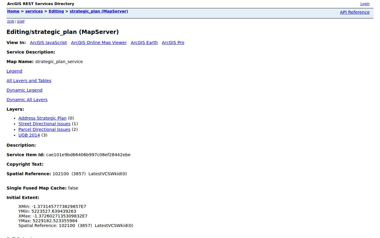
That service illustrates why a mapped address context and a postal lookup answer different questions. Use City GIS or parcel data for location context, then return to USPS for the delivery code.
Grants Pass Postal Search Fields
Josephine County Property Assessment & Tax Data is not a ZIP-wide owner directory. Its public interface documents a combined property search, owner or party lookup, address input, account or property identifier, tax lot or map ID, and map search. It does not document a postal-code filter. That limitation matters. Once USPS verifies a delivery code, use the precise street address or map identifier to reach the relevant parcel rather than expecting a complete code-wide list.
| JCPA input | Format or behavior | Postal research role |
|---|---|---|
| Combined property search | Address, tax-lot ID, or property identifier | Use the resolved physical address after USPS verification. |
| Address | Try only number and street name if the full entry fails | Does not publish a code-only filter. |
| Account / property ID | Alphabetic prefix required, such as R310276 | Useful after a map result identifies the parcel. |
| Tax lot / Map ID | Dash-separated township, range, and section pattern | Bridges a postal mismatch to the legal parcel. |
| Map Search | Browse when the identifier is unknown | Find the parcel, then open its property card. |
On a property detail, the situs address is the physical parcel location. The owner mailing address is tax correspondence and may be another property, a post-office box, or an agent address. Legal description and map number are more durable parcel identifiers when a street string or postal code produces a mismatch. The portal also exposes levy-code and taxing-district context, which is more useful than guessing a city status from a mailing address.
Note: Guest access is available in JCPA, though the county says some functions may be restricted or disabled.
Search a Grants Pass ZIP
A postal code narrows an address question, but the county's published tools require a more precise next step. The practical Grants Pass workflow moves from USPS verification to a known address or parcel, then to the property card and mapped context. Oregon's voter channels have a different purpose. My Vote is a secure self-service registration and ballot-status tool, not a public street or postal browse. A formal voter-data request is an official channel with statutory release and use limits, not a shortcut to a block list.
- Use USPS address lookup to confirm the delivery code for the exact address.
- Enter the confirmed address in Josephine County Property Assessment & Tax Data, or use map search if the parcel identifier is unknown.
- Save the property ID, MapNum, legal description, and levy-code context from the individual property result.
- Use the County Property Data Map only for parcel context, then review each property record on its own terms.
- For formal voter-data questions, use the Secretary of State request process and follow its stated limits instead of treating My Vote as a public directory.
Electronic voter files use the state request channel. For hard-copy or other non-electronic voter material, the research directs a requester to the county elections official. Josephine County Elections is in the Clerk's office at 500 NW 6th Street, Room 170, with the published phone number 541-474-5243. Its civic publications are not an individual-by-address directory.
Once a postal result has narrowed the geography, Grants Pass by-street records provide the better route for a full address chain. For a city-limit question, inspect the parcel's tax districts or City GIS rather than extending the ZIP result beyond what USPS supplies.
Grants Pass ZIP Codes and City Lines
A postal city is not a political city. JCPA examples include Grants Pass postal addresses on rural or adjacent Josephine County parcels, and some 97526 parcels carry county levy context rather than City of Grants Pass taxing districts. Conversely, an owner mailing entry can use a different code from the situs address. The parcel's levy-code area and taxing districts, plus City GIS or Planning, answer the jurisdiction question. USPS answers the delivery-code question. Neither source should be made to answer the other's question.
Postal mismatch tip. When a code and city label appear to conflict, preserve the exact situs, map number, legal description, and levy context before checking City GIS.
For city-address creation or modification, the City GIS Division address-request form handles requests through Planning. It distinguishes city limits from the urban growth boundary and limits a request to an owner of record or the owner's agent. The published contact is GIS@grantspassoregon.gov at City Hall. Those request rules concern address assignment, not a general method for changing a delivery code or correcting a parcel record.
Grants Pass Postal Grid Check
Before verifying a postal code, check the local directional grid. The Southern Pacific Railroad main line divides north from south. The center line of 6th Street and Williams Highway divides east from west. North and east addresses use NE, north and west use NW, south and east use SE, and south and west use SW. Dropping that prefix can send an address search to the wrong part of Grants Pass, even when the number and street name look right.
Street type and unit notation also matter. The City calls for recognized USPS street suffixes, and mobile or manufactured-home parks use the public street plus a space number. On linear streets, north or west sides receive even numbers and south or east sides receive odd numbers. These rules can flag a likely transcription problem, but USPS or City verification still decides whether an address is valid. A directional prefix is a research key, not decoration.
Note: Older directories may use a prior form of a street name, so retain historic wording alongside the current grid-based address.
Grants Pass ZIP Directory Myth
A common mistake is treating an owner's tax-mailing code as proof that the owner is at the parcel. JCPA distinguishes its physical situs field from the owner mailing address. The latter can point to a post-office box, a different property, an estate or trust contact, or a management address. It remains useful for tax correspondence, but it is not an occupancy finding. The ZIP code directory is strongest when it keeps that distinction visible instead of merging every address field into one label.
Map number and legal description are the safer bridge when a postal label changes or an address is vacant. Those identifiers also connect the property card to plats and recorded documents. The County Property Data Map can show a taxlot's context, while the Clerk's document route can explain an ownership transaction. Neither one converts a postal search into a complete list of people associated with an area.
Grants Pass ZIP Code Terms
Postal terms can look alike while serving different purposes. Keeping them separate makes a Grants Pass ZIP code directory result easier to compare with a JCPA property card or City map.
- ZIP versus ZIP+4
- The five-digit ZIP identifies a broad postal area. ZIP+4 adds a more specific delivery segment and does not establish city jurisdiction.
- Post-office-box ZIP
- A code used for post-office-box mail can be locally significant without proving that it is a street-delivery code.
- Unique postal designation
- A postal designation can be associated with a particular mail arrangement. Confirm its current use with USPS before describing a delivery pattern.
- Carrier route
- A delivery grouping used by the Postal Service. It is not a city boundary, neighborhood boundary, or parcel-ownership list.
For record work, write down which source supplied each label: USPS for delivery, JCPA for the parcel, and City GIS or tax districts for jurisdiction. That three-part note is often enough to resolve an apparent mismatch without guessing.