
Grants Pass Neighbors by Block
A block search has several distinct records, and none supplies a complete household roll. The County Property Data Map and JCPA property cards establish parcel geography, situs addresses, owner fields, mailing fields, legal descriptions, values, and sales-history references. The Clerk's index can connect an instrument number or party to a deed, plat, easement, lien, or related recorded item. City records can add a permit or planning history for a named parcel. Each source answers a narrower question than “who lives nearby,” which is why public owner data should not be described as a complete roster of people around a block.
| Source | Block evidence | Access route |
|---|---|---|
| County Property Data Map and JCPA cards | Taxlot location, property IDs, situs, owner and tax-mailing fields, legal description, values, and sale history | Map browse, then individual property-card review. |
| County GIS service layers | Parcel, boundary, road, planning, utility, and precinct geography | Public service directory and map infrastructure. |
| Clerk recorded-document index | Named parties and instruments for deeds, plats, easements, liens, and related documents | Digital Research Room, counter, phone, or copy request. |
| Oregon voter materials | Self-service registration functions and formal list-request channels with statutory limits | My Vote is not a public block-browse tool. |
| Community and history routes | Opt-in activities or a dated address listing when a collection confirms a relevant volume | Neighborhood Watch, library, historical, or genealogy contact. |
Owner fields and occupant status are not the same thing. A JCPA mailing address is tax correspondence and may point elsewhere. Property cards do not list every member of a home, private utility information, delivery records, driver-license data, or protected addresses. For a historic question, a reverse directory may identify an address listing only when a library or collection confirms the relevant year. Label its date and purpose instead of extending it into a present-day conclusion.
Note: A lawful block result is a parcel-context record, not a social map or an account of private relationships.
Map Grants Pass Neighbors by Parcel
The County Property Data Map provides the most defensible starting surface for nearby parcels. It has published Taxlots queries for exact Account #, containing Owner Name, exact MapNum, and a general map search for name, address, or account number. The map popup exposes map number, zone, account, tax lot, name, situs, street-name, legal acres, and links to tax-map and Assessor data. It supports pan and zoom, taxlot selection, an attribute table, measurement, printing, coordinate conversion, and local context layers. The county calls this dynamic information a general visual reference, not a survey.
- Use the County Property Data Map to locate the exact address, name, or account number.
- Select the target taxlot and record its account number, MapNum, legal description, and situs address.
- Visually identify only the taxlots that touch or face the target lot, stating the boundary choice used for the search.
- Open the Assessor-data link or JCPA card for each selected parcel and preserve the source fields separately.
- Use a sale-history instrument number in the Clerk's Digital Research Room when a recorded transaction, plat, or legal-description question needs more evidence.
There is no documented adjacent-parcel, radius, or block-resident button. Visual taxlot selection is the method. For a whole named street and its longer records chain, use the Grants Pass by-street records route after the immediate block question is settled. If the real question is a legal lot line, use the County Surveyor's recorded survey and boundary materials rather than treating the map image as a survey.
The County Surveyor counter at 500 NW 6th Street holds survey and corner, property and boundary, plat and map, and government-corner material. Published counter hours are Tuesday through Thursday, 9 a.m. to 12:30 p.m. and 1:30 to 4 p.m.; the phone number is 541-474-5311. That is the direct route when the visual map is not enough for a boundary question.
Grants Pass Parcel Map Methods
Josephine County's GIS services directory identifies Assessor, Boundary, ParcelFabric, Planning, Roads, Transportation, Utilities, and Precinct service families. That published menu supports useful context around a block: city limits, districts, roads, hazards, building footprints, or planning layers can explain where a taxlot is located. It does not create an owner-name GIS filter or establish that a named owner is an occupant. Return to JCPA for the property record after the map identifies a parcel.
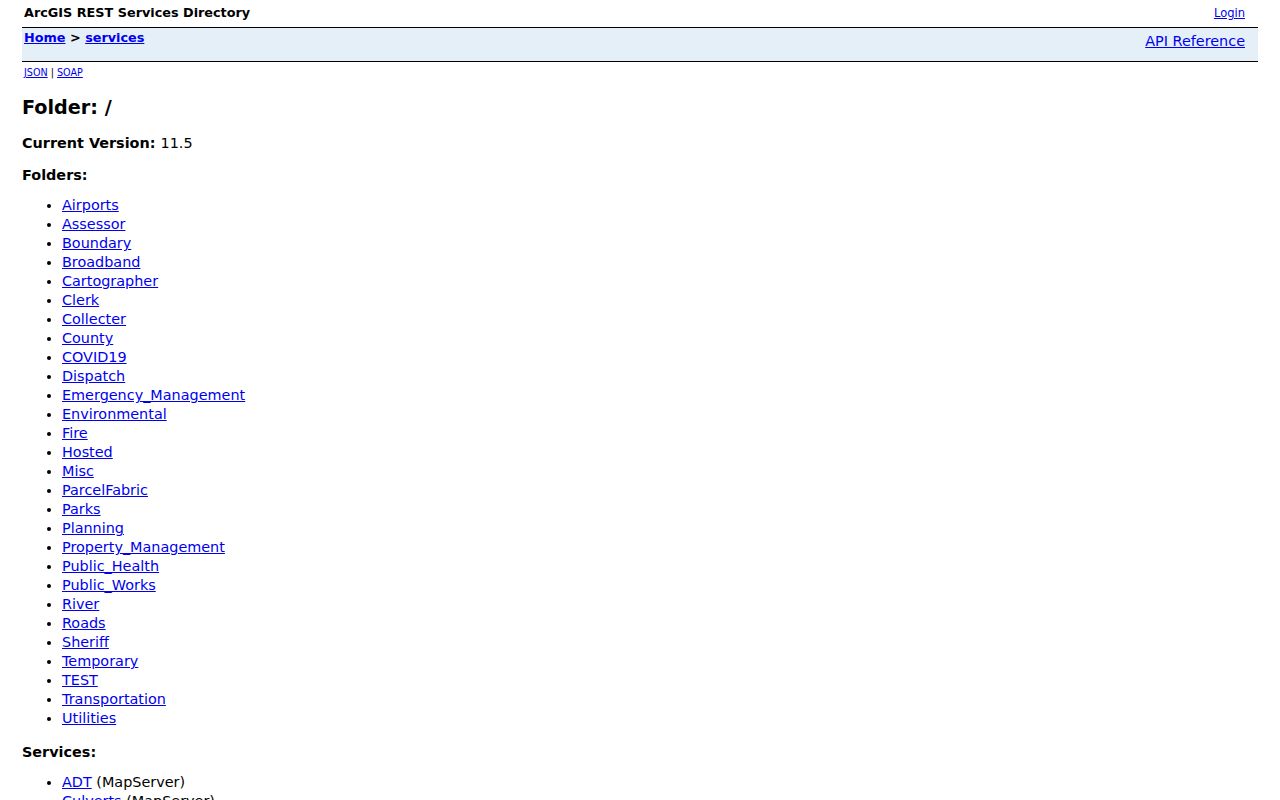
The official services list shows the county's spatial sources rather than a compiled people database. Keep map context, property-card fields, and recorded-document evidence in separate columns of a working note. A boundary, utility, or precinct layer can describe geography around a parcel, but it does not supply private contact information.
Map number and legal description are especially helpful at a block edge. A map number is the county's parcel key. A legal description identifies a lot, block, subdivision, or section relationship independent of a street string. Together they are stronger continuity markers than an aerial image or a similar-looking address.
Grants Pass Neighbors Voter Data
Oregon My Vote is for a voter’s own registration information, updates, and ballot status. It is not a public street-browse tool. The Secretary of State separately accepts electronic statewide or less-than-statewide voter-file requests. The research records a $500 statewide electronic file, or a $25 setup charge plus $0.025 per 100 records for a smaller electronic file, with up to 10 business days allowed. Josephine County Elections also has civic publications such as precinct lists and turnout information, but those are not individual-by-address directories.
Oregon law identifies some voter-list content and excludes full birth date, Social Security number, driver-license information, signatures, ACP information, and protected-voter information. Participation history means elections in which a voter participated, never ballot selections. ORS 247.955 restricts commercial use. For current assistance, contact Josephine County Elections through the County Clerk's office. A formal request cannot override confidentiality rules or turn protected material into block evidence.
Note: A portal non-match does not prove that a person has moved, is unregistered, or lacks a local connection.
Grants Pass Neighbors Watch Contacts
No official citywide neighborhood-association or HOA membership directory was located in the research. The most useful community contacts are purpose-specific: the City's opt-in Neighborhood Watch program for organizing a group, the Urban Area Planning Commission for planning geography, and the historic-resource program for place history. Each route can add context to a block. None authorizes creating a list of members, participants, or people at nearby addresses.
| Community route | Published contact or purpose | Important limit |
|---|---|---|
| Neighborhood Watch | Participants recruit a group, arrange a police meeting, build an action plan or phone tree, and hold meetings or training. Published police contact: 541-450-6260. | Opt-in program, not a public membership roster. |
| Urban Area Planning Commission | Planning geography that includes named areas such as Fruitdale, Harbeck, and Redwood. | Planning areas are not resident associations. |
| Historic Resource Planning | Historic districts, landmarks, inventories, and walking-tour documentation. | Place history does not identify present occupants. |
The City Neighborhood Watch program describes an organizing path rather than a directory.
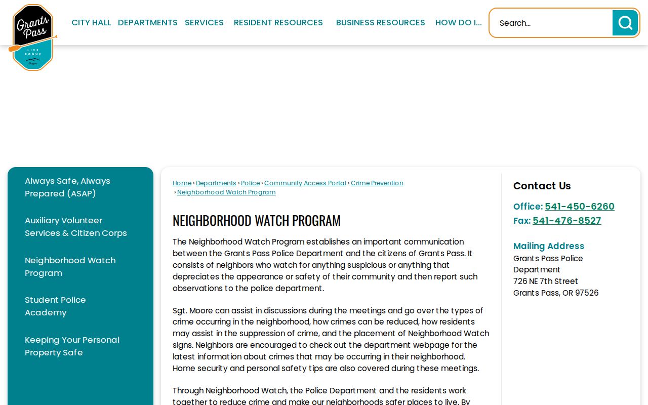
That distinction is practical. A public contact process can help people meet around a shared concern, while a roster would expose information the program does not publish.
Grants Pass Neighbors Tools Compared
Official parcel and document sources state what field is being shown and who keeps it. They are better for checking a taxlot, a legal description, a sale-history instrument, or a recorded document. Commercial neighbor-lookup tools are a different category. They can combine old addresses and other data without showing a source date or the field's original meaning. A polished display is not proof that a record is current, complete, or tied to the correct parcel.
| Source type | Useful block question | Limit to retain |
|---|---|---|
| Official map and property card | Which taxlot is adjacent, and what public parcel fields attach to it? | Owner and mailing fields are not a household roster. |
| Official Clerk document route | Which recorded instrument explains a transaction or plat? | Parties may be entities, trusts, or historic names; online images are not certified. |
| Commercial compiled tool | May suggest a starting name or past address to verify independently. | Can mix dates and sources, omit context, or be wrong; do not treat it as an official record. |
For a certified document or an older record missing online, use the Josephine County Recording counter, telephone line, written request, or the Oregon State Archives inventory. The Digital Research Room itself says displayed images are not certified and requires agreement to its disclaimer and an anti-robot check. Those access channels are more reliable than filling gaps from an unexplained compilation.
Grants Pass Planning Geography
The Urban Area Planning Commission provides a useful geography check for the Grants Pass area. Its named planning areas, including Fruitdale, Harbeck, and Redwood, can help explain why a postal label, city line, or county parcel layer does not match an everyday neighborhood name. JCPA also has property-neighborhood codes such as NW Grants Pass, SW Central Grants Pass north of the Rogue River, Lower River Road, Jones Creek, and rural Redwood. Those are assessor geography codes, not membership lists or demographic descriptions.
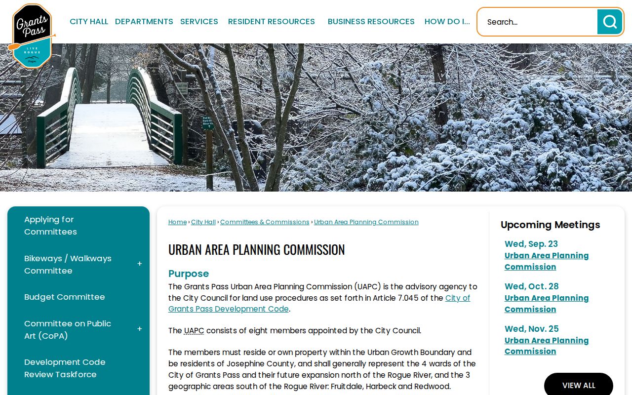
The planning page is useful for defining the geography being discussed before opening parcel records. City limits, ZIP codes, planning areas, fire or water districts, historic districts, and assessor codes can overlap, but they should stay distinct in a block note.
Private Lines Around Grants Pass
Some information around a block is not public or should not be reconstructed. JCPA does not list every person connected with a home, utility customer records are not a general public address roster, and DMV personal data is restricted by federal law. Sealed, juvenile, and adoption court matters are not available through an ordinary public-record request. Oregon's Address Confidentiality Program provides a substitute-address and mail-forwarding route for eligible people facing qualifying safety risks. A separate custodian-by-custodian confidentiality process can address certain home-address, telephone, and email disclosures.
Lawful use. Use Grants Pass neighbor information for personal connection, family history, civic curiosity, or safety awareness. Oregon law does not permit stalking, harassment, intimidation, impersonation, or deception.
For an error in a government record, contact the custodian that created it with the record identifier and evidence. A private profile correction or opt-out request goes to that private company under its own process and does not amend the government source. The Oregon Consumer Privacy Act can give qualifying consumers rights with covered private controllers, but it does not erase lawful public records or disclose protected information.